
 Login
Login
Kentucky Lake (North Section - Kentucky Dam to KY/TN State Line), Kentucky Waterproof Map (Fishing Hot Spots) – Lake Maps
Store » Lake Maps » Kentucky Lake (North Section - Kentucky Dam to KY/TN State Line), Kentucky Waterproof Map (Fishing Hot Spots)
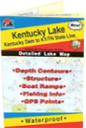 |
Kentucky Lake (North Section - Kentucky Dam to KY/TN State Line), Kentucky Waterproof Map (Fishing Hot Spots)Kentucky Dam to KY/TN State Line
This is the premier series of Fishing Hot Spots maps. Each detailed maps provides depth contours, structure, boat ramps and updated fishing information, with productive spots marked on the map. You'll also find a complete lat/long grid and dozens of GPS waypoints. These four-color maps are as easy-to-use as they are to read! Size - 24 x36
$16.45
Shipping: 0.00
Category: Lake Maps Vendor: Fishing Hot Spots Vendor Item #: L120 Inventory: 0 Dated Added: |
|
Quick Links Kentucky Lake News Kentucky Lake Photos Kentucky Lake Videos |


